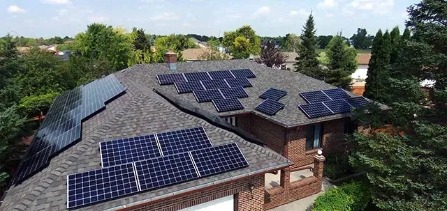
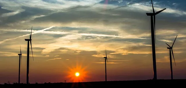
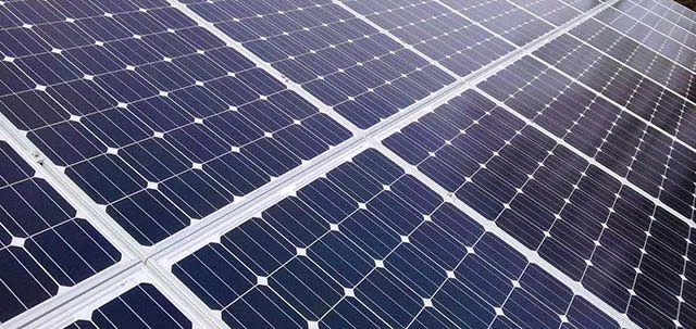
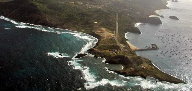
Communities located in remote locations must rely on importation of foreign fuels for their basic energy needs, while they are surrounded by renewable resources that are often not harvested for local use. This situation is not sustainable for communities, especially in remote locations that are already impoverished due to lack of local employment and a weak economy. Intelligently planning the resource management of a rural community by comparing the renewable energy produced with the primary energy needs, will provide a means to develop a strategy to increase the renewable energy ratio (RER) through which a community can decrease energy dollars leaving the community, stimulate local economic development and relieve its reliance on foreign fuel, thereby reducing GHGs and incrementally becoming more sustainable. The island of Fernando de Noronha (FDN) is isolated 547 km from the coast of Brazil, approximately three degrees south of the equator in the Atlantic Ocean. The island is ideally situated to harness solar energy, in conjunction with an abundance of wind resource. At present, a 225 kW wind turbine is located on the island and provides 10% of the annual energy needs of the island, while diesel generators provide the remaining 90%. From wind resource mapping in conjunction with solar mapping, the complimentary existence of these resources provides an increase in the RER and offsets the diesel fuel dependence while strengthening the security of essential energy needs. Coordinating more than one renewable resource to be available in addition to the backup diesel system is especially required to support the critical loads, such as hospitals and water desalination plants. This work introduced concepts of intelligent renewable resource planning and design of systems to increase the renewable energy ratio of a given geographical area.